
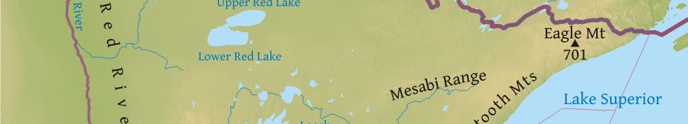
EAGLE MOUNTAIN IS THE HIGHEST NATURAL POINT IN THE US STATE OF MINNESOTA STANDING AT 701 M (2301 FT) ABOVE SEA LEVEL. IT IS LOCATED IN COOK COUNTY, WITHIN IN THE BOUNDARY WATERS CANOE AREA WILDERNESS AND SUPERIOR NATIONAL FOREST.
Eagle Mountain is an official Minnesota State Historic Site. The ascent to the top is quite easy, that’s why no special skills or equipment is required. However, it is recommended to pay additional attention to the rocky and steep parts of the trail. Overall, the hike to the peak takes about two and a half hours.
The route to the summit is approximately 5.6 km (3.5 mi) long with an elevation increase of 168 m (550 ft). The hill hosts two campsites for visitors located just next to the picturesque Whale Lake. Similar to majority of other low mountains in the region, the peak of Eagle Mountain is marked with a plaque.
THE FIVE HIGHEST PEAKS IN MINNESOTA:
- Eagle Mountain - 701m (2301 ft), in the Misquah Hills, Cook County, northeastern Minnesota, the United States.
- Misquah Hills High Point (Point 2260) - 690 m (2260 ft), in the Misquah Hills, Cook County, northeastern Minnesota, the United States.
- Lima Mountain - 682 m (2238 ft), in the Misquah Hills, Cook County, northeastern Minnesota, the United States.
- Point 2210 - 670 m (2210 ft), in Cook County, northeastern Minnesota, the United States.
- Disappointment Mountain - 533 m (1814 ft), in Fall Lake Township, Lake County, northeastern Minnesota, the United States.

LATEST BLOG POSTS
I quit the rat-race to live a more adventurous life. This is my journey.